 vesseltracker.com
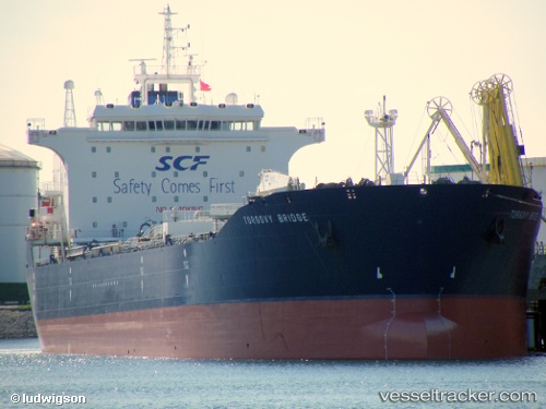
Vessel HASAN EAST IMO: 9292046, MMSI: 314960000 Oil Products Tanker
Live Vessel HASAN EAST Analytics (details, animations, etc.)
Live AIS position: UTC. 39 nm NE of Dibba), updated 2026-02-16 07:33:26 UTC.Find the position of the vessel HASAN EAST on the map. The latter are known coordinates and path.
marine traffic ship tracker show on live map
The current position of vessel HASAN EAST is 25.87534 lat / 56.92333 lng. Updated: 2026-02-16 07:33:26 UTCCurrently sailing under the flag of Barbados
HASAN EAST built in 2005 year
Deadweight:
46697 tDetails:
Last coordinates of the vessel:
2026-02-16 07:33:26 UTC, 25.87534, 56.92333, course: 6, speed: 0.3